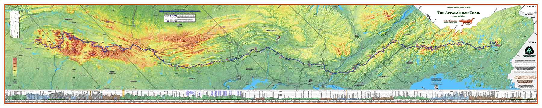
This is our 2020 Appalachian Trail map, with all current 2020 mileages, all operating 2020 official AT shelters, and an elevation profile of the entire trail.
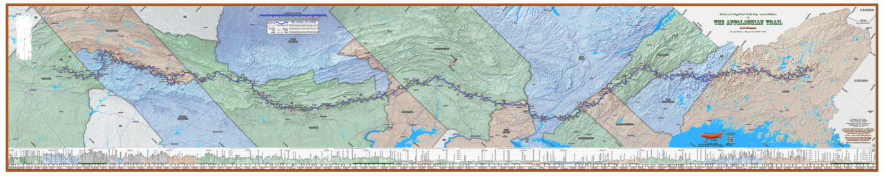
This version has a background with the states individually colored.
The map is 10 feet wide by 2 feet tall, and is designed to be mounted horizontally. It is printed on professional canvas with non-fade archival inks (but not designed to be mounted outdoors).
Move the mouse in the image to see more detail, or click on the magnifying glass to see a larger image.